
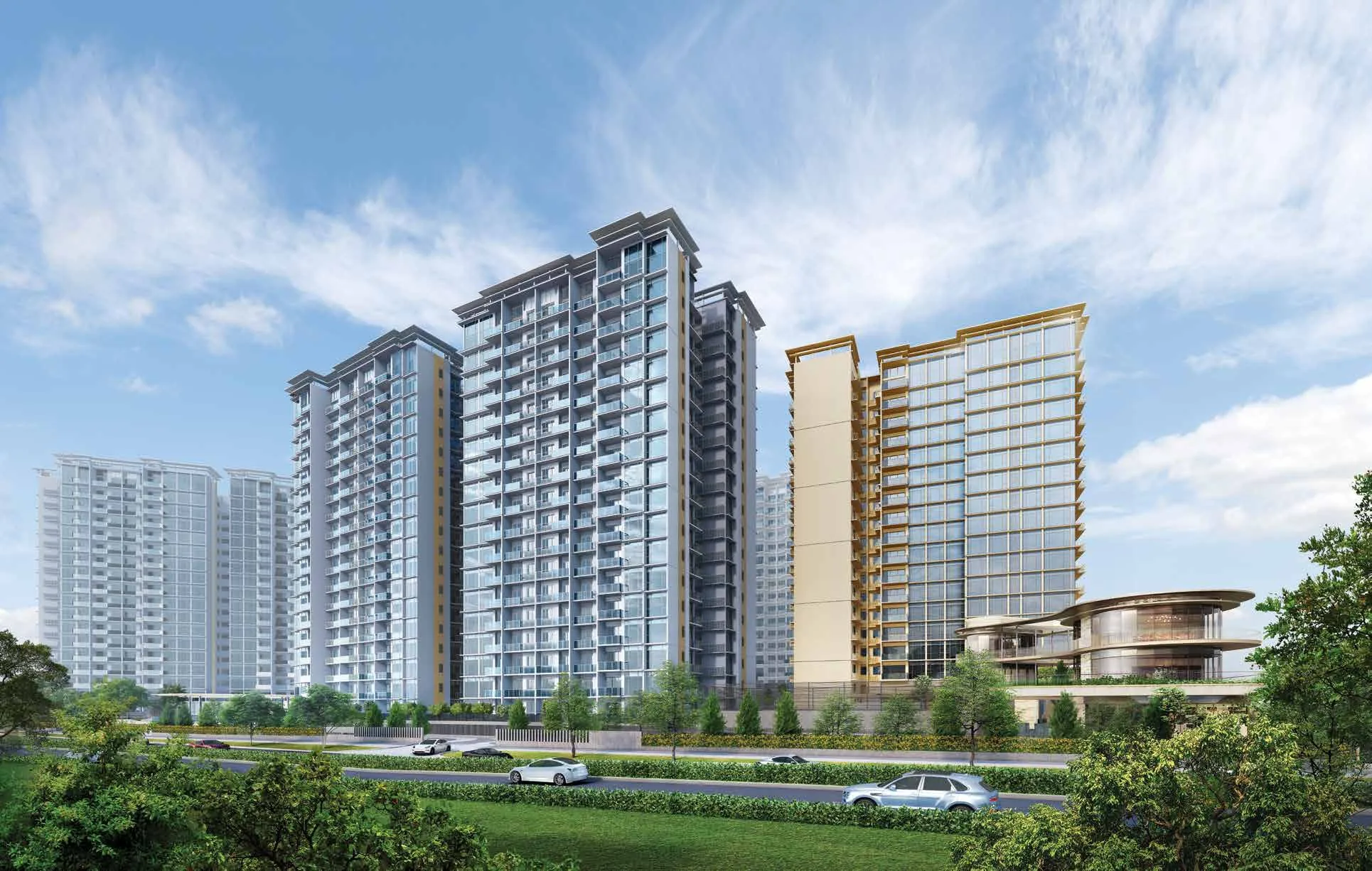
 Artist’s impression
Dakota Station at the Gate of Grand Dunman
Dakota station (CC8) on the Circle Line is the nearest station to Grand Dunman. It lies about 150 metres from the site in a straight line on OneMap, and the developer’s brochure puts it at a two-minute walk; Exit A is about 160 metres away and Exit B about 300 metres.
The site plan keeps the route simple. Of the four side gates on the developer’s site plan, Side Gate 2 is the one marked for the MRT and the park connector, so a resident leaving for the station does not need to cross a main road.
The developer’s location map places the site between the city centre and the East Coast, with the Circle, East-West and Thomson-East Coast Lines and the expressways drawn around it, and its inset shows the blocks beside Dakota station and the river.
| Station | Line | Straight line from the site |
|---|---|---|
| Dakota (CC8) | Circle | about 150 m |
| Dakota, Exit A | Circle | about 160 m |
| Dakota, Exit B | Circle | about 300 m |
| Mountbatten (CC7) | Circle | about 880 m |
| Paya Lebar (CC9, EW8) | Circle, East-West | about 1.0 km |
| Tanjong Katong (TE25) | Thomson-East Coast | about 1.2 km |
| Katong Park (TE24) | Thomson-East Coast | about 1.3 km |
| Stadium (CC6) | Circle | about 1.8 km |
| Tanjong Rhu (TE23) | Thomson-East Coast | about 2.3 km |
Straight lines measured from the site on OneMap (SLA); routes on foot are longer.
Where the Circle Line Runs from Grand Dunman
Trains from Dakota run one stop north to Paya Lebar, where the Circle Line meets the East-West Line, and two stops south to Stadium, the station for the Singapore Sports Hub. Beyond Stadium the line continues through Nicoll Highway and Promenade towards the Marina Bay area; in the other direction it carries on past Paya Lebar towards MacPherson and Bishan. Stadium station is about 1.8 kilometres from the site in a straight line, two stops away.
Paya Lebar is the useful change for the East-West Line, which runs to the city and to Changi. The station also anchors the Paya Lebar-Ubi commercial precinct, which the developer’s brochure presents as a source of jobs close to home; Paya Lebar Quarter is about 1.1 kilometres from the site.
Around Paya Lebar station, Paya Lebar Quarter, Paya Lebar Square and SingPost Centre all lie within about 1.3 kilometres of the site, one stop from Dakota by train.
Other Stations within Reach of Grand Dunman
Mountbatten station (CC7), one stop along the Circle Line towards Stadium, is about 880 metres from the site, and Paya Lebar station (CC9 and EW8) about a kilometre. South of the site, the Thomson-East Coast Line stops at Tanjong Katong (TE25), about 1.2 kilometres away, and Katong Park (TE24), about 1.3 kilometres away, before running west through Gardens by the Bay to Marina Bay, Shenton Way and Orchard.
That gives households at Grand Dunman three lines within a little over a kilometre: the Circle Line at the gate, the East-West Line at Paya Lebar and the Thomson-East Coast Line to the south.
Driving from Grand Dunman
Cars enter from Dunman Road past the guard house and the feature roundabout to the arrival plaza, and the developer’s fact sheet provides one car park lot per home on Basement 1. The brochure’s drive times below are indicative figures, not timed journeys.
| Destination | By car, developer’s brochure |
|---|---|
| East Coast Parkway | about 5 minutes |
| Kallang-Paya Lebar Expressway | about 5 minutes |
| Pan Island Expressway | about 6 minutes |
| Marina Coastal Expressway | about 7 minutes |
| Marina Bay Financial Centre | about 7 minutes |
| Raffles Place | about 12 minutes |
| Orchard Road | about 15 minutes |
| Kallang Wave Mall | about 6 minutes |
| Marina Bay Sands and Suntec City | about 7 minutes |
| Bugis Junction | about 9 minutes |
| MacPherson and Ubi | about 10 minutes |
| Jewel Changi Airport | about 20 minutes |
Indicative drive times from the developer’s brochure.
For scale, Marina Bay Sands is about 4.4 kilometres from the site in a straight line and Raffles Place station about 5.1 kilometres.
Walking and Cycling by the River at Grand Dunman
The Geylang park connector follows the river along the south-western edge of the site, about 240 metres from its centre on OneMap, and two of the side gates open onto it. The brochure describes it as a direct pathway to Marina Bay Sands and East Coast Park, which makes it a route for commuting by bicycle as well as for weekend rides.
Downstream, the path passes the Kallang Basin and the Singapore Sports Hub, about two kilometres from the site, with Kallang Riverside Park about 2.5 kilometres away and Gardens by the Bay’s Bay East Garden about 3.1 kilometres. The Dakota MRT and transport guide and the Geylang River guide follow each route, and the Grand Dunman location page lists every distance. Showflat viewings are arranged by appointment through the Sales Concierge.
General information as at the date shown, not financial, legal or tax advice. Particulars of Grand Dunman come from the developer’s published particulars, fact sheet, brochure and plans and from URA’s land-sale release; statutory figures are those on this site’s financing pages, and distances are straight lines measured on OneMap. Sources: OneMap (SLA) straight-line measurements and the developer’s brochure and site plan, as set out on this site’s location page and Dakota MRT and transport guide.
Ask the Sales Concierge about Grand Dunman
The Sales Concierge sends the price list on request, the homes still available and the e-brochure for Grand Dunman. Showflat viewings are arranged by appointment through the Sales Concierge.